Earth, ocean and atmosphere
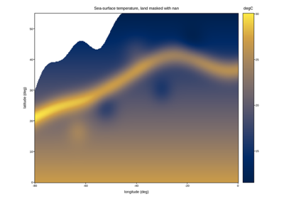
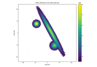
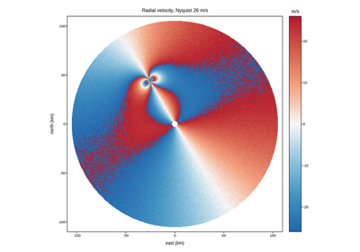
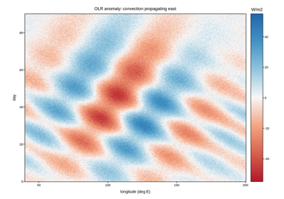
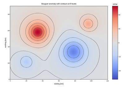
Remote sensing, weather radar, climate records and subsurface geophysics. The recurring problems here are incomplete coverage (land under an ocean sensor, a radar’s unfilled corners), quantities whose sign carries the meaning (radial velocity toward or away, an anomaly above or below a reference), and grids that are polar, curvilinear or unevenly spaced before they ever reach the plotting call.
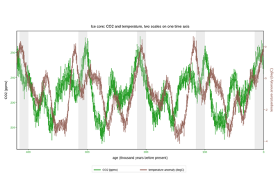
Ice-core CO2 and temperature over four glacial cycles
Ice-core CO2 and temperature over four glacial cycles
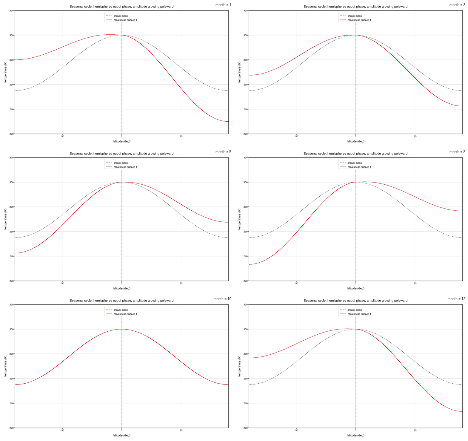
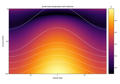
The zonal-mean seasonal cycle, animated month by month
The zonal-mean seasonal cycle, animated month by month
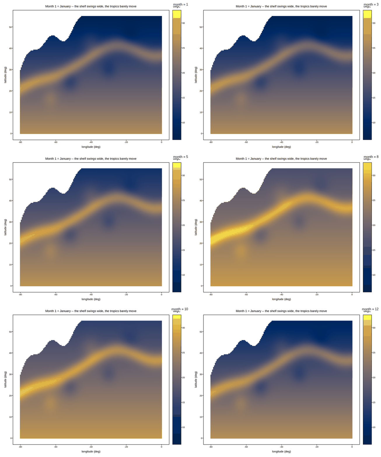
Sea-surface temperature through the seasonal cycle, animated
Sea-surface temperature through the seasonal cycle, animated